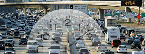
TRAFFIC
Traffic
Real-time Information
Travel Resources
Real-time Information
Traffic Map
Freeway Travel Times
Message Signs
Traffic Alerts
Cameras
Find a
traffic map
, freeway corridor
travel times
,
message signs
,
traffic alerts
, and
camera
images.
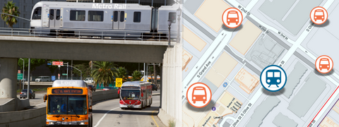
TRANSIT
Transit
Transit Tools
Transit Resources
Transit Tools
Map-based Trip Planner
Schedules
Real-time Arrivals
Access Service Area Lookup
Here you will find a map-based
transit trip planner
,
schedules
,
real-time arrivals
, and
access service area lookup
.
CAMERAS
511 PHONE
SoCal 511 MOBILE APP
MORE
More
Biking Information
Rideshare
News
Other
Biking Information
Bicyclist Resources
Bike Maps
Bike Safety
Bike Share
Bikes On Transit
Here you will find
bicyclist resources
,
bike maps
,
bike safety
,
bike share
, and taking your
bike on public transit
.
FOLLOW SoCal511
Traffic
Real-time Information
Traffic Map
Freeway Travel Times
Message Signs
Traffic Alerts
Cameras
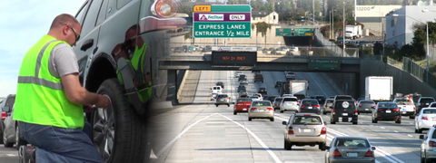
Travel Resources
Carpool Lanes
Roadside Assistance
Toll Roads/FasTrak
Trip Planner
Transit
Transit Tools
Map Based Trip Planner
Schedules
Real-time arrivals
Access Service Area Lookup
Transit Resources
Paratransit Services
Park and Ride General Info
Park and Ride Lots List
Senior Services
Cameras
511 Phone
SoCal 511 MOBILE APP
More
Biking Information
Bicyclist Resources
Bike Maps
Bike Safety
Bike Share
Bikes On Transit
Rideshare
Employer Programs
Find Rideshare Options
Rideshare Incentives
Other
News
Developers
Follow SoCal511 on Twitter
Real-time Information
Traffic Map
Freeway Travel Times
Message Signs
Traffic Alerts
Cameras
Find a
traffic map
, freeway corridor
travel times
,
message signs
,
traffic alerts
, and
camera
images.
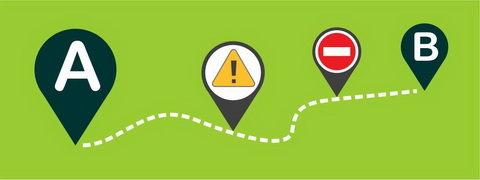
Travel Resources
Carpool Lanes
Roadside Assistance
Toll Roads/FasTrak
Trip Planner
Here you will find information on
toll roads
,
roadside assistance
,
carpool lanes
and a
trip planner
.
Transit Tools
Map-based Trip Planner
Schedules
Real-time Arrivals
Access Service Area Lookup
Here you will find a map-based
transit trip planner
,
schedules
,
real-time arrivals
, and
access service area lookup
.
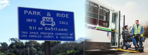
Transit Resources
Paratransit Services
Park and Ride General Info
Park and Ride Lots List
Senior Services
Here you will find useful resources for
paratransit services
,
park-and-ride general information
, a list of
park-and-ride lots
, and
senior services.
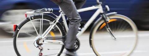
Biking Information
Bicyclist Resources
Bike Maps
Bike Safety
Bike Share
Bikes On Transit
Here you will find
bicyclist resources
,
bike maps
,
bike safety
,
bike share
, and taking your
bike on public transit
.
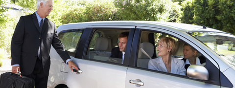
Rideshare
Employer Programs
Find Rideshare Options
Rideshare Incentives
You will find
employer rideshare programs
,
rideshare options
, and
incentive programs
.
News
Go To The News
Get the latest transportation
news and headlines
. Stay informed and plan ahead before you head out on the road.
Resources For Veterans
Discounts
Resources
Access
resources
for work, education, healthcare, and other vital services for veterans and others in the military community.
Other
Developers
Here you can find resources for
developers
and
mobile
apps.
Profile
Edit My Profile
Here you will be able to modify your
profile
.
Routes & Advisories
Edit Routes & Advisories
Here you can save favorite travel
routes
for receiving real-time traffic condition updates.
Logout
Log Me Out
Select
logout
to log out of My511.
Alerts and Advisories
×
Home
Sitemap
About
FAQ
Feedback
Privacy Policy
Terms & Conditions